
This week’s severe weather in the Mid-South was visible from outer space.
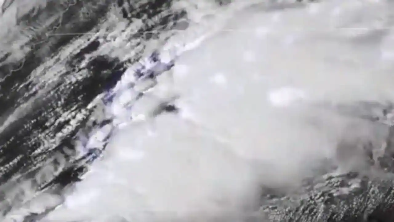
Stunning imagery from the National Oceanic and Atmospheric Administration’s (NOAA) GOES East satellite captured the Thursday “supercell” that produced a large tornado in Alabama near Brent and Centerville.
MID-SOUTH RECOVERS FROM DEADLY TORNADOES AS REGION BRACES FOR SEVERE WEATHER, MORE STORMS
“In the 16-second timelapse, you can see the lightning that accompanied the storm during March 25,” the agency wrote Friday on Twitter in a message accompanying the 16-second clip.
As many as 10 tornadoes tore through both Alabama and Georgia starting Thursday.
The storms that killed at least six people continued passing through the region early Friday morning, bringing an EF-4 tornado to northwestern Newnan, Ga. that left the city looking like a “war zone.”
As the system moved eastward — with thunderstorms and hazardous flash-flooding in other states — a tornado also touched down in Vermont on Friday, injuring at least two people.
TORNADOES CONFIRMED ACROSS ALABAMA, GEORGIA TENNESSEE; MORE BAD WEATHER POSSIBLE SATURDAY
North Carolina’s South Fork River began flooding its banks in Cramerton earlier in the day, forcing officials to close down the nearby pier, according to a report.
Farther up the East Coast, residents of Rochester, N.Y., were surprised to see what they thought was a massive tornado or waterspout but turned out to be “scud” clouds — a low-lying cloud formation that connects to the base of the main storm but does not rotate.
Strong winds that ripped through the Empire State knocked out power for more than 2,000 people in Western New York and dangerous conditions are expected to continue in the East and the South through the weekend.
CLICK HERE FOR THE FOX NEWS APP
The National Weather Service (NWS) forecasts the threat of an isolated tornado as far up as New Jersey, though another potent storm system will move across the South and Southeast this weekend, according to a report.
Severe storms will be possible across the lower Mississippi and Tennessee Valleys and all hazards are possible including more tornadoes, damaging wind gusts, hail and flash flooding, the NOAA said.
Source link